- Walking the Alpujarra
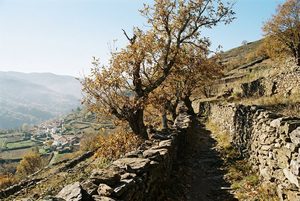 Old mule paths still link the Alpujarra's villages, and the GR 7 strings many of them into one long route. The walking is steep, varied and best in spring or autumn.
- Acequias, terraces and the Moorish legacy
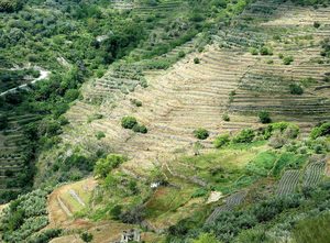 The Alpujarra's green slopes are man-made: terraces held up by stone walls and watered by channels that carry Sierra Nevada snowmelt across the mountainside.
- Mulhacén, the highest peak
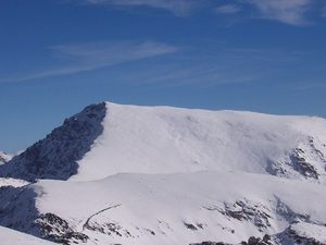 At 3,479 metres, Mulhacén is the highest mountain in mainland Spain. From the Alpujarra side it is a long walk rather than a climb, but it is a serious one.
- Lanjarón and Órgiva, the gateway
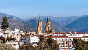 Most people enter the Alpujarra through these two towns: Lanjarón, a spa town built on mountain springs, and Órgiva, the market town on the valley floor below.
- Trévelez, high and cured
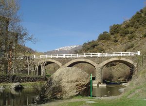 One of the highest villages in Spain, Trévelez is split into three districts on a steep slope, and its cold mountain air has cured hams for generations.
- Pampaneira, Bubión and Capileira
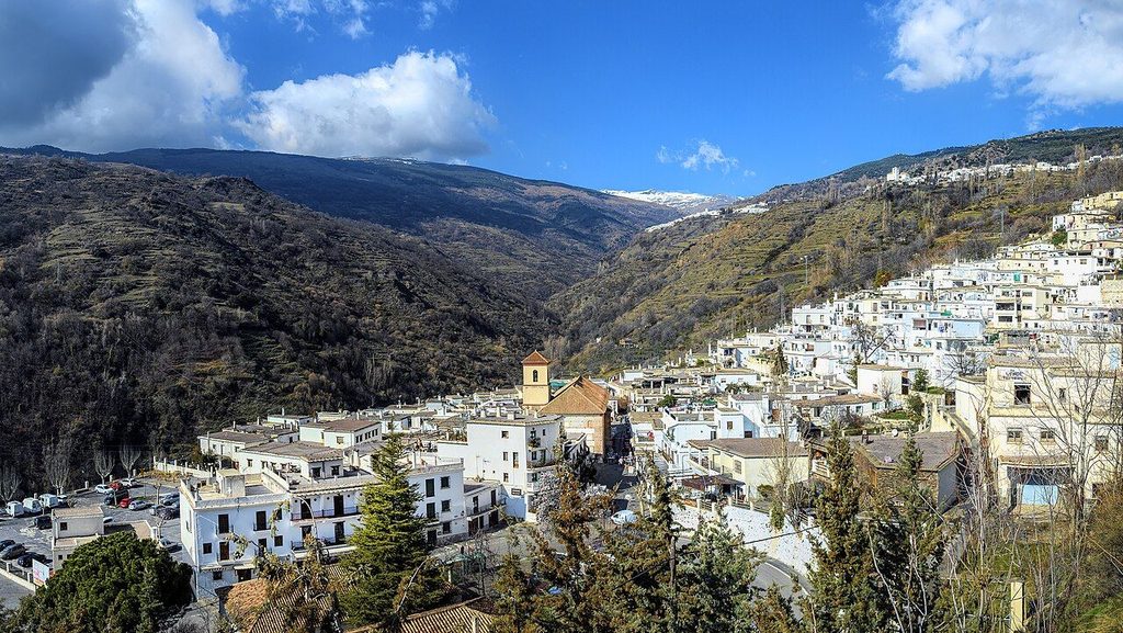
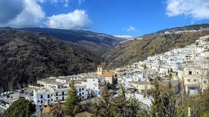 Three white villages climb one side of the Poqueira gorge, each a little higher and colder than the last, joined by the road and by older paths.
Reading them in the order of the road
Mountain weather. Snow can close the high roads and passes from late autumn into spring, and summer afternoons are hot even at altitude. Check the forecast and road conditions before a long drive or walk.
Six notes from the Alpujarra
The Alpujarra runs along the southern flank of the Sierra Nevada, south-east of Granada: white villages with flat grey roofs and round chimneys, chestnut and walnut terraces watered by channels from the snow, and paths that link one village to the next.
The name is usually traced to Arabic, from the centuries when the valleys were farmed by Muslim communities, and later by the Moriscos until their expulsion after the revolt of 1568 to 1571. Many villages were then resettled by families from the north of Spain.