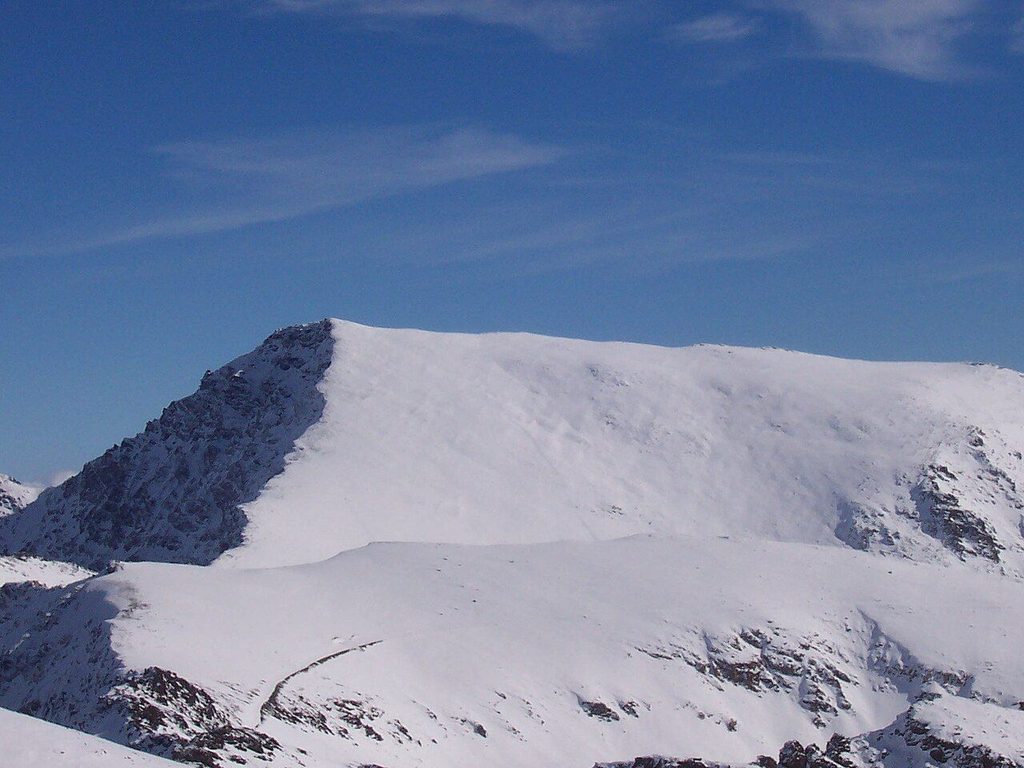
At 3,479 metres, Mulhacén is the highest mountain in mainland Spain. From the Alpujarra side it is a long walk rather than a climb, but it is a serious one.
- Area: Sierra Nevada
- From Granada: About ninety minutes to Capileira
- Best months: July, August, September
- Bring: Water, warm layers, sun hat, map
Field note: Afternoon storms build fast over the summits in summer. Start early, watch the sky and turn back at the first thunder. Snow can lie on the high paths until June.
Mulhacén rises at the centre of the Sierra Nevada, above the heads of the Poqueira and Trévelez valleys. At 3,479 metres it is the highest summit in mainland Spain and in the Iberian Peninsula; only Teide in the Canary Islands stands higher on Spanish soil. Its name is linked to Muley Hacén, one of the last Nasrid rulers of Granada, and a legend holds that he was buried on the summit.
From the south, the mountain is a broad, stony dome. From the north it ends in a steep wall above the Valdeinfierno corrie. Most walkers come up the gentler southern side, from the Alpujarra.
The park and its rules
The high ground belongs to the Sierra Nevada National Park. The old road that crossed the range between the Alpujarra and the Granada side is closed to private cars, and the park controls access on both slopes. On the Alpujarra side, a park shuttle runs from Capileira up the high track during the summer season, which shortens the day a great deal. The shuttle's dates, timetable, drop points and booking rules change, so check before you go; in some years it fills up at weekends.
Camping and bivouacking in the national park are regulated, with rules on where, when and how many people. Wild fires are not allowed. Check the current rules before planning a night out on the mountain, and if you intend to use a mountain hut, check whether you need to reserve.
The route from Capileira
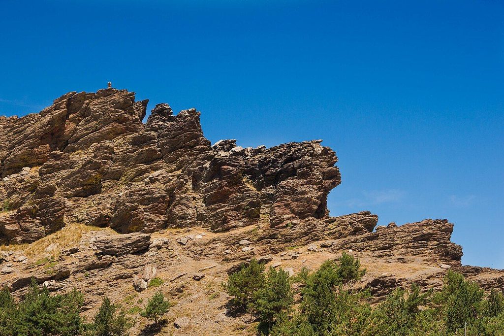
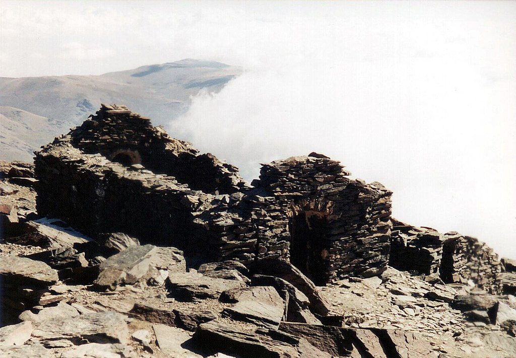
The usual route on this side starts from the top of the shuttle's run. From there, a clear path climbs north over open ground of broken schist towards the long south ridge of Mulhacén. Higher up the path joins the ridge and climbs steadily over stony ground to the summit, where there is a trig point and the ruins of an old hut and a small chapel. The return is the same way.
See also: Trévelez, high and cured
From the shuttle drop, plan on about three to four hours up and two and a half down for a fit walker, more if you stop often or feel the altitude. Without the shuttle, starting on foot from Capileira, the day becomes very long and is better split with a night high on the mountain.
The path is not technical in summer conditions, but it is high, exposed and long. There is no shade and little water above the start. Altitude affects some people with headaches and tiredness well before the top; go slowly and drink.
When to go
The walking season for most people runs from late June or July to September, when the snow has gone from the paths and the shuttle runs. Even then, conditions on the summit can turn cold and windy in minutes. Afternoon thunderstorms are common in summer, and a bare ridge at nearly 3,500 metres is a bad place to be in one.
From autumn to late spring the mountain is a winter climb. Snow and ice cover the upper slopes, the shuttle does not run, and you need crampons, an ice axe and the skill to use them. Avalanches and hard, wind-packed snow are real hazards. Do not try Mulhacén in winter without mountain experience or a qualified guide.
Other approaches
Trévelez offers a longer route by the Siete Lagunas, a basin of small lakes below the north-east side of the mountain; it is described in the Trévelez story. From the Granada side, walkers start near the ski area and cross by Veleta, the second summit of the range, a route with its own access rules and its own long day. Experienced walkers sometimes link Mulhacén and Veleta along the crest.
For walks lower down, below the national park, see walking the Alpujarra.
What to carry
- At least two litres of water each in summer, and food for a long day.
- Warm and windproof layers, a hat and gloves, even in August.
- Sun protection: hat, sunglasses and cream. The light is strong at this height.
- A map or a downloaded track, and a charged phone. Cloud can drop over the summit quickly.
- Your shuttle return time, written down. Missing the last one means a long walk down to Capileira.